Dates: October 21-25, 2024
Location: University of St. Gallen, Switzerland
Workshop Focus and Goals
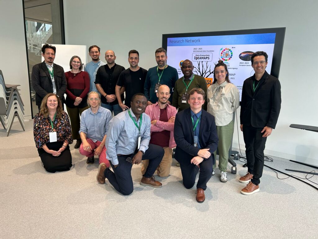
In October 2024, experts, researchers, and stakeholders gathered at the University of St. Gallen, Switzerland, for a workshop organized by Anthony Boanada-Fuchs focused on urban deprivation, informal settlements, and methods to map and model these areas.

The discussions focused on improving data collection, testing new mapping methods, and supporting the Sustainable Development Goal (SDG) 11.1.1, which aims to ensure access to adequate housing and basic services.
The workshop also emphasized the importance of collaboration between researchers, governments, and local organizations to create tools that can be scaled and used in different cities globally.
Introducing DEPRIMAP
The DEPRIMAP project was introduced to the broader network focusing on mapping and modelling Deprived Urban Areas (DUAs) using geospatial data, morphometrics, and machine learning techniques.
DEPRIMAP shares common goals with the workshop, including:
- Improving methods for identifying and mapping DUAs.
- Addressing data gaps using remote sensing and Earth Observation data.
- Developing tools that can be scaled and transferred to different regions.
The workshop provided an opportunity to connect with experts working on similar challenges and explore how DEPRIMAP can contribute to global efforts in mapping urban deprivation.
Key Themes Discussed
The workshop focused on several important themes:
- Mapping Informal Settlements – Developing methods to identify and map DUAs accurately.
- Environmental Risks – Assessing flooding, urban heat, and other vulnerabilities faced by informal settlements.
- Scalable Solutions – Creating frameworks and tools that can be used across different regions and urban contexts.
- Policy and Planning Support – Using maps and data to guide urban planning and decision-making.
Highlights from Presentations
Participants shared their research on mapping and modelling urban deprivation. Some examples include:
- Argentina’s RENABAP Registry – Juan Manuel D’Attoli presented Argentina’s approach to mapping informal settlements using geospatial data.
- Urban Heat Modelling – Abascal from ONEKANA project discussed mapping heat stress in informal areas.
- Flood Modelling – Chris Bean shared methods for using remote sensing and hydrological models to assess flood risks in low- and middle-income countries.
- Urban Morphology and Connectivity – Thomson introduced datasets for mapping street networks and urban patterns in deprived areas.
- Mapping Roma Settlements – Boris Zerjav presented efforts to map and analyze marginalized communities using geospatial methods.
- IDEMAPS Framework – The IDEAMAPS team shared their approach to mapping vulnerability and urban deprivation at scale.
Looking Ahead
The workshop highlighted the need for better data, flexible mapping frameworks, and collaborative approaches to address urban deprivation. These ideas align with DEPRIMAP’s vision to develop scalable methods and data-driven tools to study DUAs.
The DEPRIMAP team looks forward to building on these discussions and contributing to the broader network of researchers and practitioners working to improve urban planning and resilience strategies.
For more updates about DEPRIMAP, visit our website.


No responses yet