
📢 DEPRIMAP at JURSE and EARSeL 2025: Two exciting conferences ahead!
The coming months promise exciting opportunities for the DEPRIMAP team as we gear up to present at two major international conferences on urban remote sensing and global development challenges. Here’s a quick look at what’s coming up!
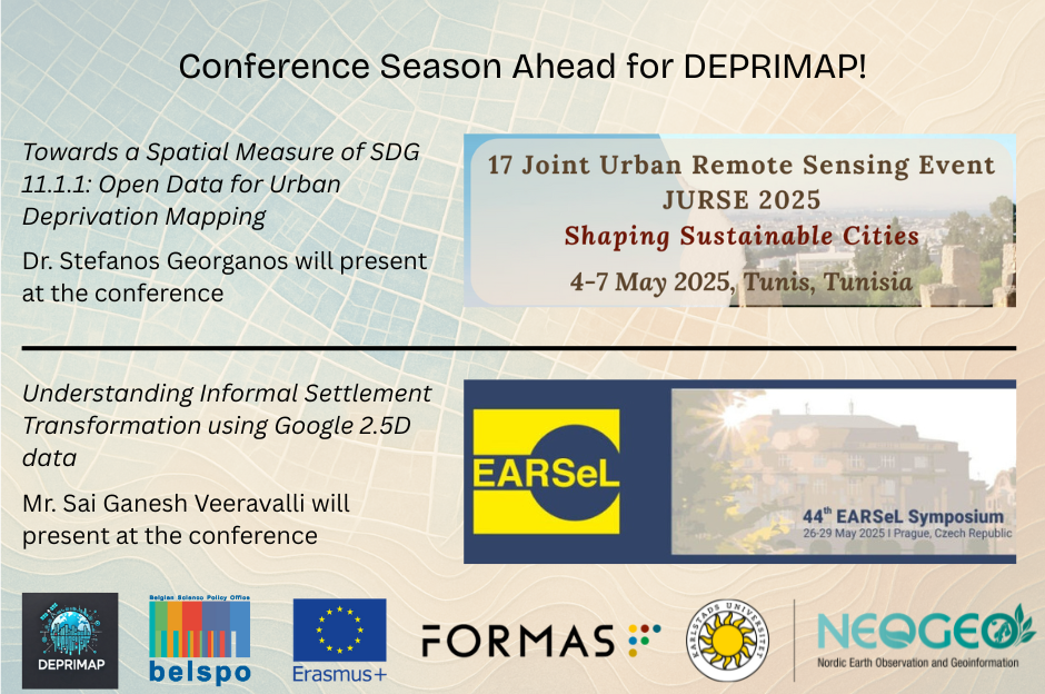
🛰️ JURSE 2025 – Tunisia, 4-7 May 2025
We’re thrilled to announce that DEPRIMAP will be represented at the Joint Urban Remote Sensing Event (JURSE) 2025, taking place in Tunisia from May 4-7 2025. Stefanos Georganos will be attending and presenting the paper titled:
Towards a Spatial Measure of SDG 11.1.1: Open Data for Urban Deprivation Mapping
Authors: S.G. Veeravalli, F. Campomanes, S. Hafner, S. Georganos, M. Kuffer, J. Friesen, D. R Thomson, R. Ndugwa, D. Mwaniki, A. Abascal, P. Elias, T. E. Morakinyo, J. Pedrassoli, G. de Oliveria, A. Boanada-Fuchs, B. Zerjav, J. M. D’Attoli
📌 This paper is a direct outcome of the October 2024 workshop in St. Gallen, Switzerland, organized by Anthony Boanada-Fuchs, which brought together researchers, urban practitioners, and data experts to address the pressing issue of urban deprivation. During the workshop, DEPRIMAP was introduced to the broader community working on mapping and modelling deprived urban areas (DUAs), contributing to discussions on open data, scalable solutions, and SDG-aligned frameworks.
Building on these insights, the JURSE paper introduces a geospatial framework that operationalizes urban deprivation using open data—such as Google’s 2.5D building dataset—and validates its approach in Nairobi. This contribution reflects DEPRIMAP’s commitment to developing spatial, scalable, and transferable solutions for urban analysis.
📝 If you haven’t yet, check out our earlier blog post on the Switzerland workshop: link
🌍 EARSeL 2025 – Prague, 26-29 May 2025

Next up, DEPRIMAP researchers will participate in the 8th EARSeL Workshop on Earth Observation in the Global South at EARSeL 2025 symposium in Prague, Czech Republic, focusing on EO applications in rapidly urbanizing and data-scarce regions.
At this workshop, Sai Ganesh Veeravalli will present the paper:
Understanding Informal Settlement Transformation through Google’s 2.5D Dataset and Street View-based Validation
Authors: S.G. Veeravalli, J. Friesen, J. Haas, S. Georganos
The study uses Google’s open 2.5D temporal dataset to track changes in building count and height across Nairobi’s informal settlements from 2016 to 2023. A grid-based method helps classify transformation types like vertical and horizontal densification, with validation using historical satellite and street-level imagery. This work demonstrates the value of combining Earth Observation and ground-level (Google Street View imagery) validation in monitoring urban change at scale.
Stefanos Georganos and Jan Haas will also attend the conference, continuing our engagement in global conversations on remote sensing for equitable urban development.
🌐 What’s Next?
These upcoming conferences mark important moments in DEPRIMAP’s journey – both in advancing technical methods and in contributing to global knowledge networks focused on urban inequality. We look forward to exchanging ideas, learning from others, and showcasing how open data and collaborative frameworks can inform inclusive urban planning.
Stay tuned for more updates from our conference presentations – and follow along as we continue to build tools and knowledge to support just urban transformation.
No responses yet