DEPRIMAP at EARSeL 2025: Engaging with the Global South through Earth Observation
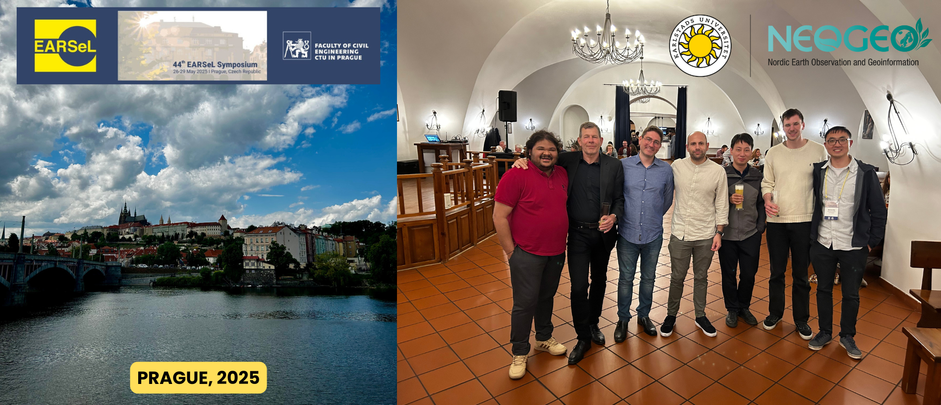
In May 2025, members of the DEPRIMAP team participated in the 44th EARSeL Symposium held in Prague, Czech Republic. The symposium brought together researchers and practitioners from across Europe and beyond, with a strong focus on innovative applications of Earth Observation (EO) technologies.
This year’s event marked a significant moment for DEPRIMAP, particularly through its involvement in the 8th Workshop on Earth Observation for the Global South, a dedicated platform to discuss how EO can support urban transformation, socio-economic monitoring, and inclusive development in data-scarce regions.
DEPRIMAP researchers Sai Ganesh Veeravalli, Stefanos Georganos, and Jan Haas were present at the symposium, contributing through oral presentations, workshop organisation, and active engagement with the broader EO community.
🛰️ 8th Workshop on Earth Observation for the Global South
A major highlight of the symposium was the 8th Workshop on Earth Observation for the Global South, co-organised by Stefanos Georganos (Karlstad University, Sweden) and Monika Kuffer (University of Twente, Netherlands). This workshop has become a key forum for discussing how Earth Observation can support inclusive development, especially in underrepresented and data-scarce urban contexts across the Global South.
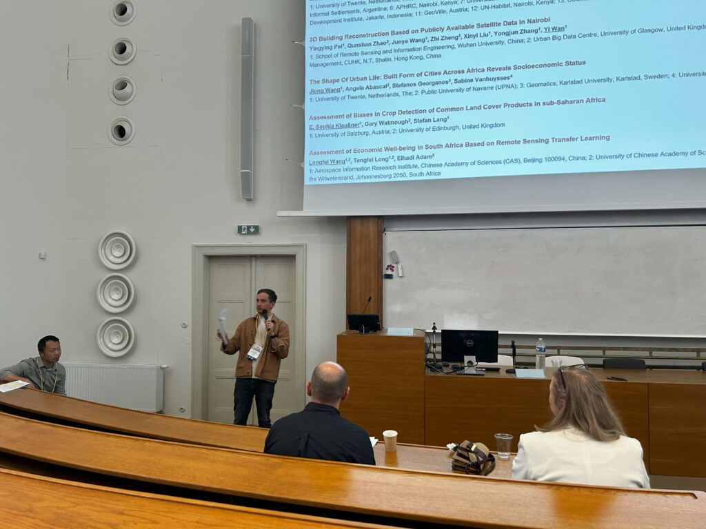
The workshop featured 12-14 oral presentations from researchers working across diverse geographies and thematic areas. The workshop was structured into three focused sessions, allowing deep dives into topics ranging from slum mapping and poverty modelling to the transferability of EO methods and participatory approaches.
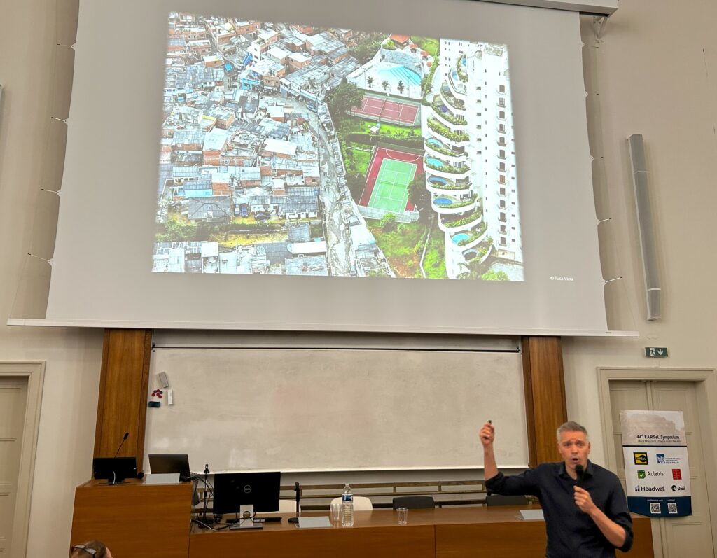
The event began with an inspiring keynote speech by Dr. Hannes Taubenböck (German Aerospace Centre (DLR) / University of Würzburg), titled:
Making Poverty Visible – The Successes and Failures of Remote Sensing and Other Geodata.
Drawing from Bertolt Brecht’s The Threepenny Opera, Hannes emphasised the need to shed light on the invisible. In his words:
Because some are in the dark. And others are in the light. And you see those in the light. You don't see the ones in the dark.
The keynote underscored how EO data, including slum morphology, settlement proxies, and night-time lights has enabled researchers to visualise and quantify poverty on a global scale. At the same time, it addressed critical gaps in knowledge, data biases, and the need for methodological innovation to ensure inclusive EO-based insights.
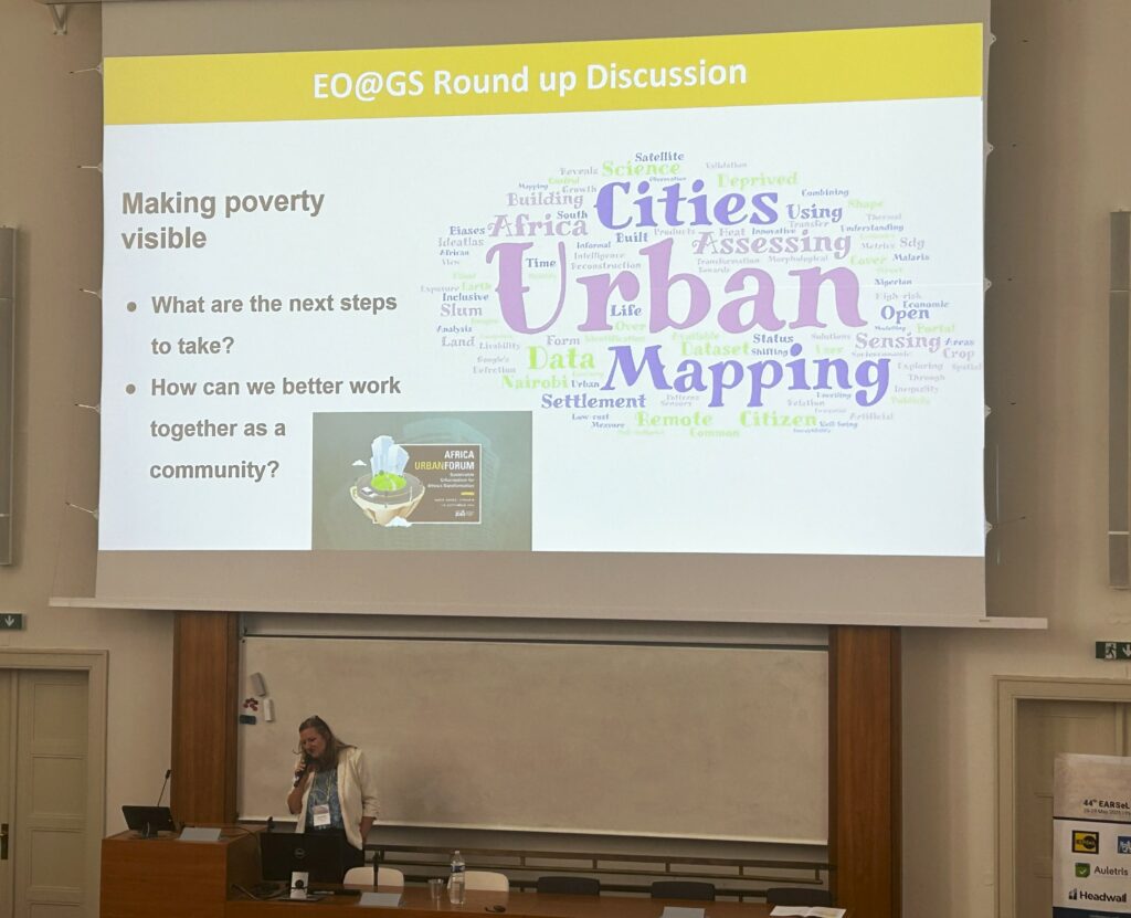
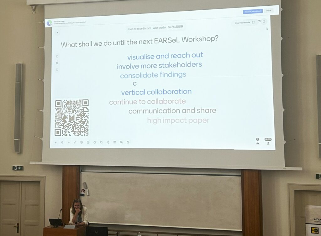
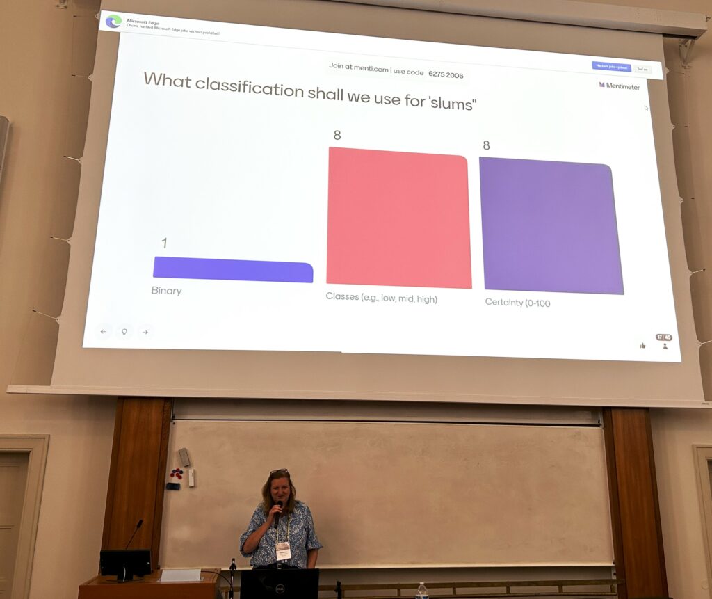
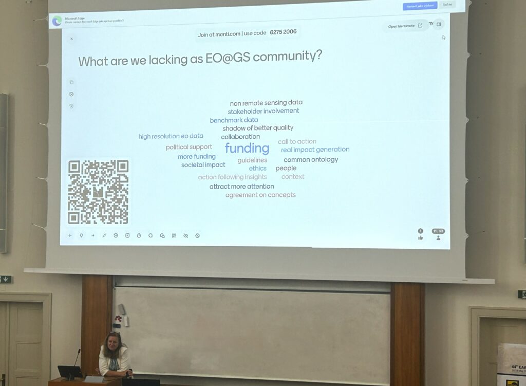
Beyond presentations, the workshop fostered lively interactive sessions, including:
A word cloud exercise visualising the recurring themes in the presented research.
Mentimeter polls inviting audience input on issues such as:
Should slum classifications be binary, probabilistic, or multi-class?
What are we lacking as a research community?
What should we prioritise before the next workshop?
These exchanges emphasised the workshop’s participatory spirit, ensuring that EO research is not only technical but also critical, reflective, and community-driven.
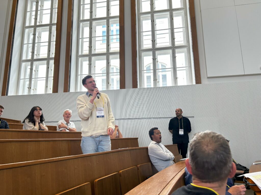
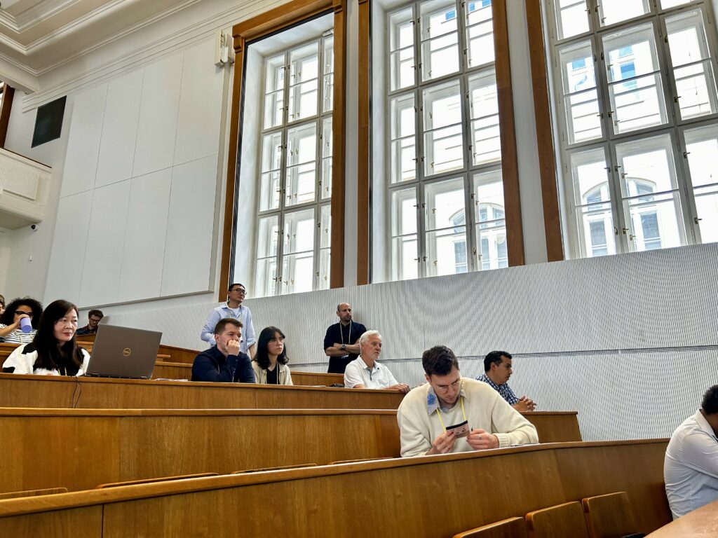
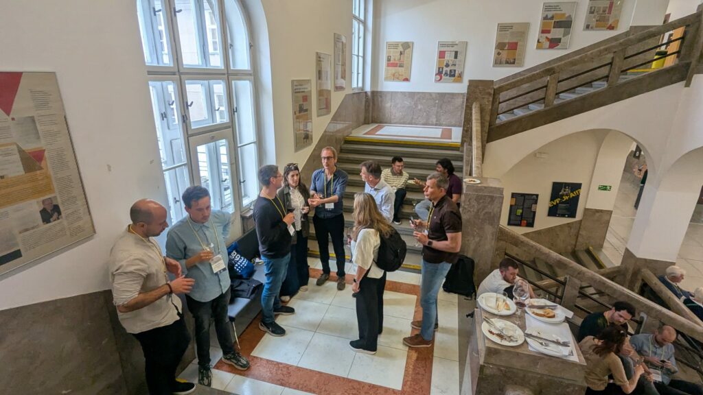
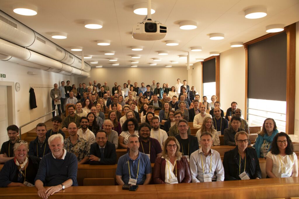
Below are a few pictures from the workshop.
🌍 DEPRIMAP Research at the Workshop
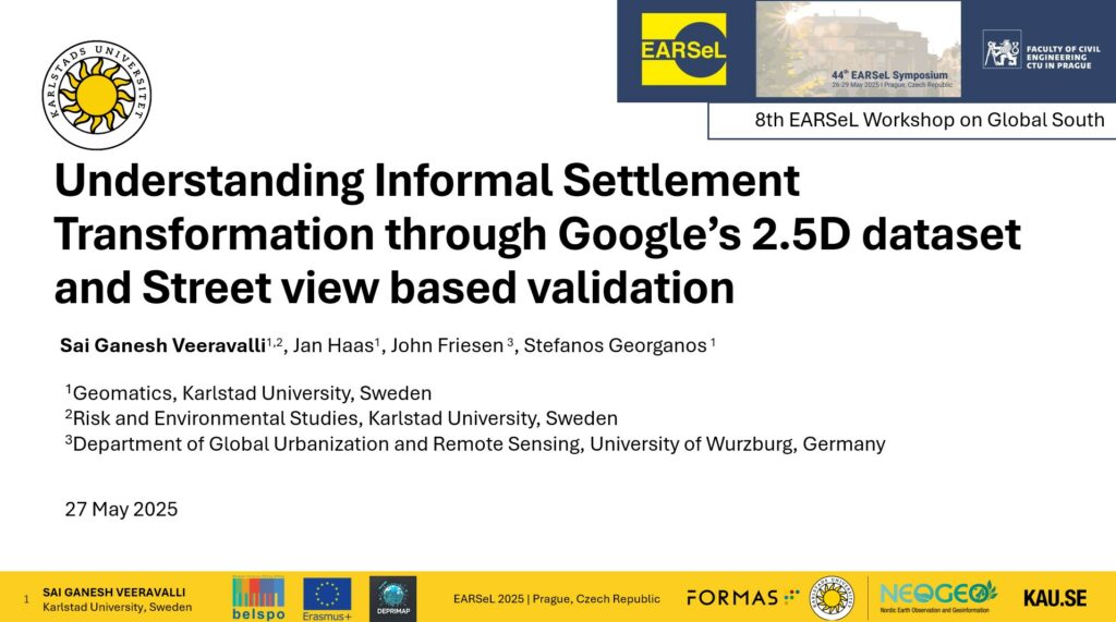
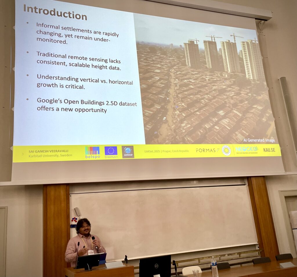
As part of the workshop, two oral presentations were delivered by DEPRIMAP team members. One of the highlights was the presentation by Sai Ganesh Veeravalli, titled ‘Understanding Informal Settlement Transformation through Google’s 2.5D Dataset and Street View based Validation‘. This study is also published as a peer-reviewed full article in the ISPRS Archives.
Veeravalli, S. G., Haas, J., Friesen, J., and Georganos, S.: Understanding Informal Settlement Transformation through Google’s 2.5D Dataset and Street View based Validation, Int. Arch. Photogramm. Remote Sens. Spatial Inf. Sci., XLVIII-M-7-2025, 245–251, https://doi.org/10.5194/isprs-archives-XLVIII-M-7-2025-245-2025, 2025.
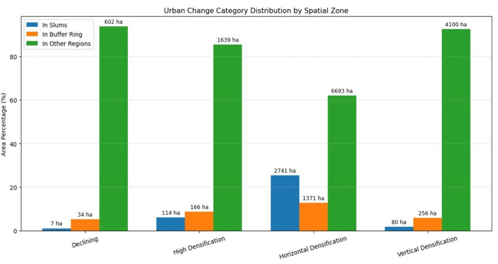
Focusing on Nairobi, the research tackles the longstanding challenge of monitoring urban change within informal settlements, where traditional data sources often fall short. The study leverages Google’s Open Buildings 2.5D temporal dataset (2016-2023), a novel resource that provides annual estimates of building presence, count, and height to detect physical transformations across the city.
Using a rule-based classification approach on 100-meter grid cells, the study identified four key urban change types:
Vertical densification (buildings growing taller)
Horizontal densification (more structures added)
High densification (growth in both dimensions)
and Decline (loss in structure and height)
What sets this work apart is its two-source validation approach. By combining Google Earth Pro imagery with Google Street View, the study achieved an impressive 96.75% overall accuracy. In areas with limited overhead data, Street View proved especially valuable for verifying vertical growth, a crucial insight for urban planners and researchers alike.
The spatial analysis revealed a compelling pattern:
Horizontal densification dominates within informal settlements.
While vertical and high densification trends are more common in nearby buffer zones and formal city areas.
This underscores the need for zone-specific monitoring strategies, especially in rapidly changing informal environments where citywide trends may mask local dynamics.
Note: Sai Ganesh Veeravalli has received an Erasmus+ mobility scholarship from Karlstad University that covered travel and accommodation expenses of the conference trip.
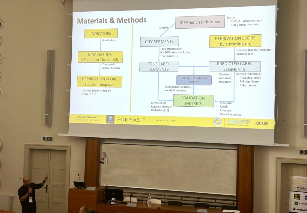
In the same session, Stefanos also presented our JURSE paper to get feedback from the broader community at the workshop.
🌐 What’s Next for DEPRIMAP?
Participation in the EARSeL Symposium and the Global South workshop has energised the DEPRIMAP team to continue advancing research at the intersection of Earth Observation, urban transformation, and deprivation mapping.
In the coming months, the team plans to:
Scale up the 2.5D urban change analysis to additional cities across Africa, Latin America and South Asia.
Enhance validation protocols by incorporating more street-level data and exploring participatory approaches.
Extend the work on the spatial measure of SDG 11.1.1 by incorporating more indicators and extending it across multiple cities in the Global South.
Engage with the broader IDEAMAPS network and the EO-for-Development community to co-develop data standards and slum typologies.
These efforts aim to produce scalable, interpretable, and locally grounded methods that can support better decision-making in rapidly growing urban regions, particularly those that remain poorly mapped or understood.
Closing Note
The 44th EARSeL Symposium in Prague was not just a platform to present results, but also an opportunity to exchange ideas, strengthen collaborations, and reflect critically on the role of remote sensing in supporting inclusive urban development.
Through its contributions to the 8th Workshop on EO for the Global South, DEPRIMAP reaffirmed its commitment to producing open, actionable knowledge for cities facing complex urban challenges. With fieldwork, new analyses, and upcoming publications on the horizon, the team looks forward to continuing these conversations — and deepening partnerships — in future forums.
No responses yet