Presented poster “DEPRIMAP: Mapping Deprived Urban Areas at Global Scale” at the Flood Risk Conference 2025, showcasing how open geospatial data and machine learning can map, count, and assess vulnerability in deprived urban areas worldwide.
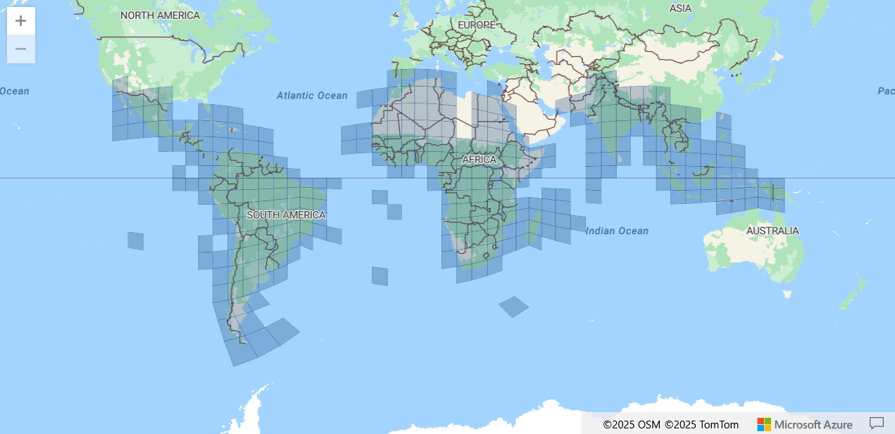
We’re excited to share that DEPRIMAP has secured high-performance computing access through NAISS Tetralith! This marks a major step toward scaling our geospatial analysis across 80+ countries in the Global South — enabling reproducible, open-source workflows for mapping urban deprivation at scale.
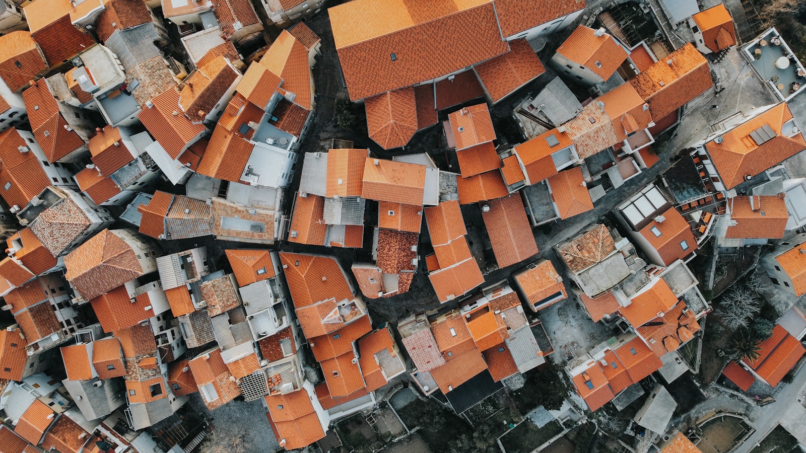
Google Buildings V3 is a powerful dataset, but at 178 GB, it's not easy to work with.
In this blogpost, we introduce a two-step Python workflow to efficiently download and extract only the building footprint data you need — using your own region of interest. No need to process the world — just get the tiles that matter, filter them, and save clean GeoPackages. Ideal for urban research, slum mapping, or large-scale city analysis. Lightweight, scalable, and open-source.

Tired of waiting for Jupyter cells to finish? In this post, we show how to use a simple Telegram bot to get instant notifications when your notebook completes — no email setup, no complex libraries. A quick, beginner-friendly solution for long-running geospatial or ML tasks.
A lightweight, offline-friendly tool for downloading Google’s 2.5D Open Buildings dataset at national scale. This blog introduces a Jupyter Notebook that bypasses Earth Engine limits by using direct download links—enabling researchers to work with high-resolution building data across entire countries. Developed under the DEPRIMAP project.
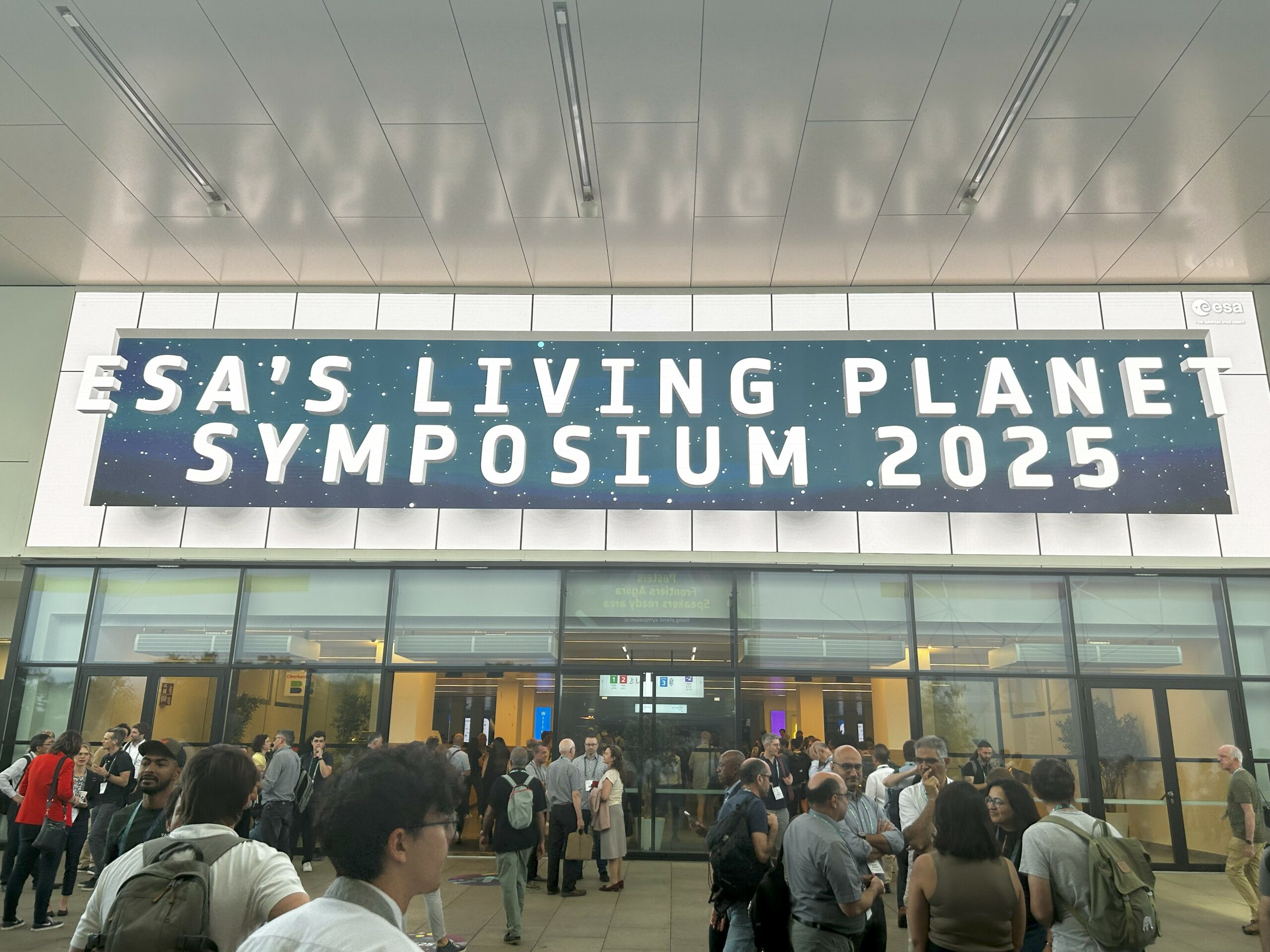
Reflections from the ESA Living Planet Symposium 2025 in Vienna, where global EO experts gathered to discuss data, tools, and policy for a changing planet. This blog highlights key insights, new datasets, and technologies relevant to DEPRIMAP’s mission to map and model urban deprivation across the Global South.
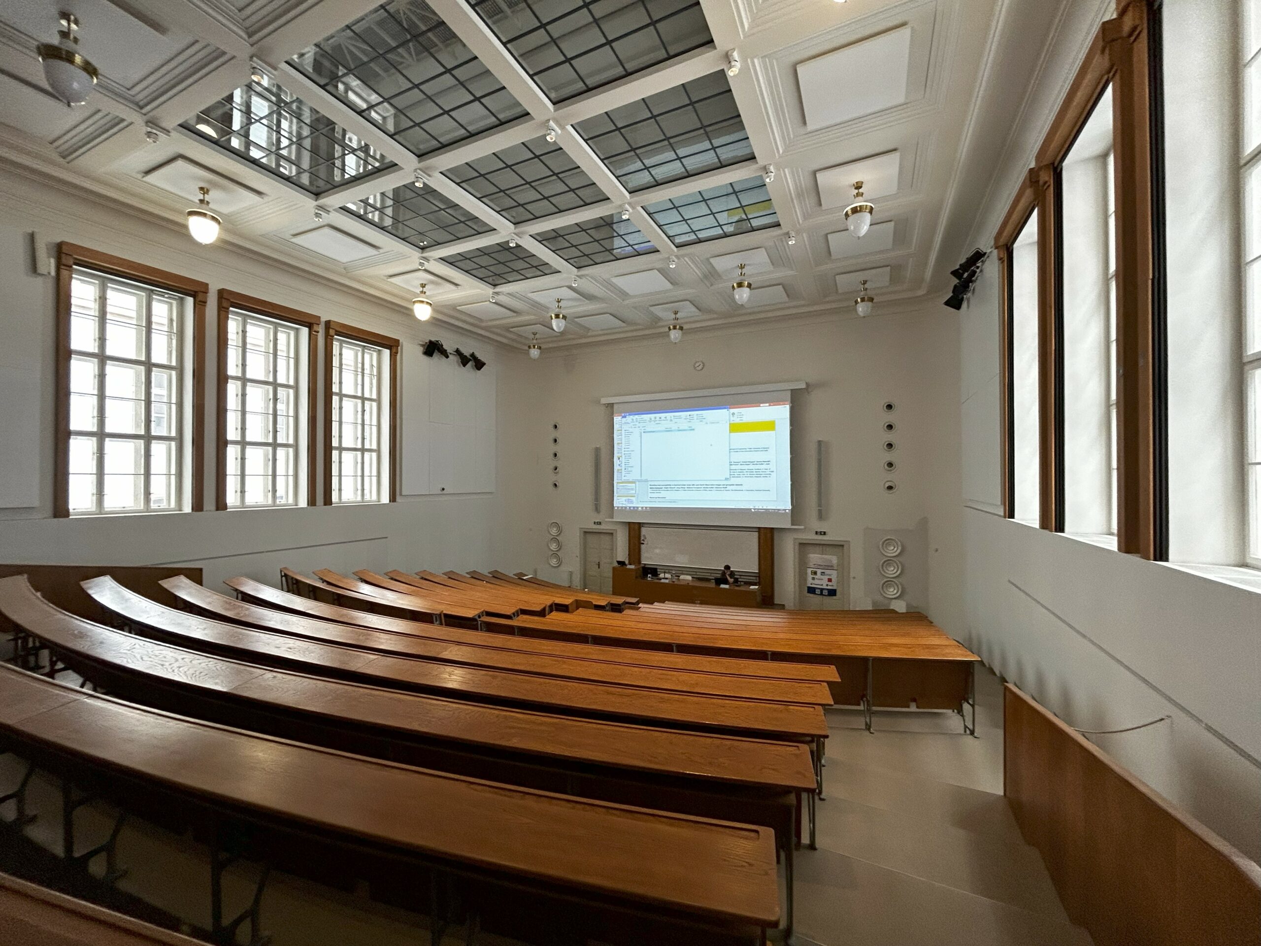
At the 44th EARSeL Symposium in Prague, the DEPRIMAP team actively contributed to the 8th Workshop on Earth Observation for the Global South — a platform dedicated to inclusive and data-driven urban research. Sai Ganesh Veeravalli presented a study on mapping informal settlement change in Nairobi using Google’s 2.5D dataset, now published in the ISPRS Archives. The workshop featured rich interactive sessions, global research exchanges, and forward-looking discussions on slum classification and EO-based monitoring. This blogpost recaps key moments, insights, and DEPRIMAP’s path forward.

DEPRIMAP participated in the 2025 Nordic Workshop on AI for Climate Change, held in Gothenburg, Sweden. Stefanos Georganos presented on the role of AI and geospatial methods in addressing urban inequality under climate stress, showcasing work on thermal discomfort mapping, population estimation, and infrastructure access in Sub-Saharan African cities. The workshop fostered valuable dialogue across disciplines and opened new doors for Nordic collaborations on AI for urban resilience.

At JURSE 2025 in Tunisia, the DEPRIMAP team presented new research on scalable urban deprivation mapping using open geospatial datasets. The study, rooted in collaboration from the 2024 Switzerland workshop, showcased a composite deprivation score framework tested in Nairobi and validated across eight global cities. The presentation introduced extended cross-city comparisons and laid out future directions, including new indicators, refined thresholds, and open-source tools.

The DEPRIMAP team is set to present at two major international conferences in May and June 2025. At JURSE 2025 in Tunisia, Stefanos Georganos will showcase a paper born out of the collaborative Switzerland workshop, focusing on scalable open-data methods for mapping urban deprivation. In June, Sai Ganesh Veeravalli, Stefanos Georganos, and Jan Haas will represent DEPRIMAP at the EARSeL Global South workshop, presenting new insights into informal settlement transformation using Google’s 2.5D dataset and Street View validation. Read more about our upcoming contributions and what they mean for mapping urban change.
DEPRIMAP is a research funded by FORMAS (Swedish Research Council, application 2023-01210) involving KAU (Karlstad University, Sweden)